http://pubs.usgs.gov/of/2003/ofr-03-100/fig3.html
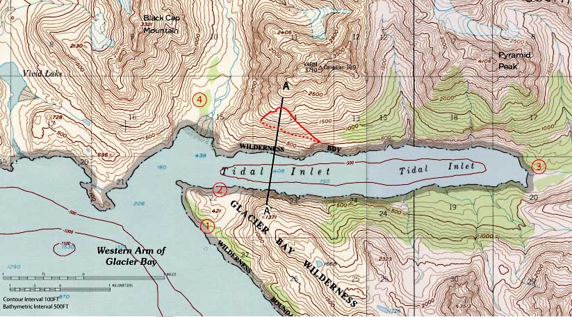
Topographic maps show the elevation of the land. Here in this specific example it is Glacier Bay National Park. The lines and numbers show the different ranges of elevation. There are also lines that mean cliffs. In the water you can also see the deepness as indicated by the negative numbers.
No comments:
Post a Comment