skip to main
|
skip to sidebar
Ryan Prasek's Map Catalog
Thursday, April 22, 2010
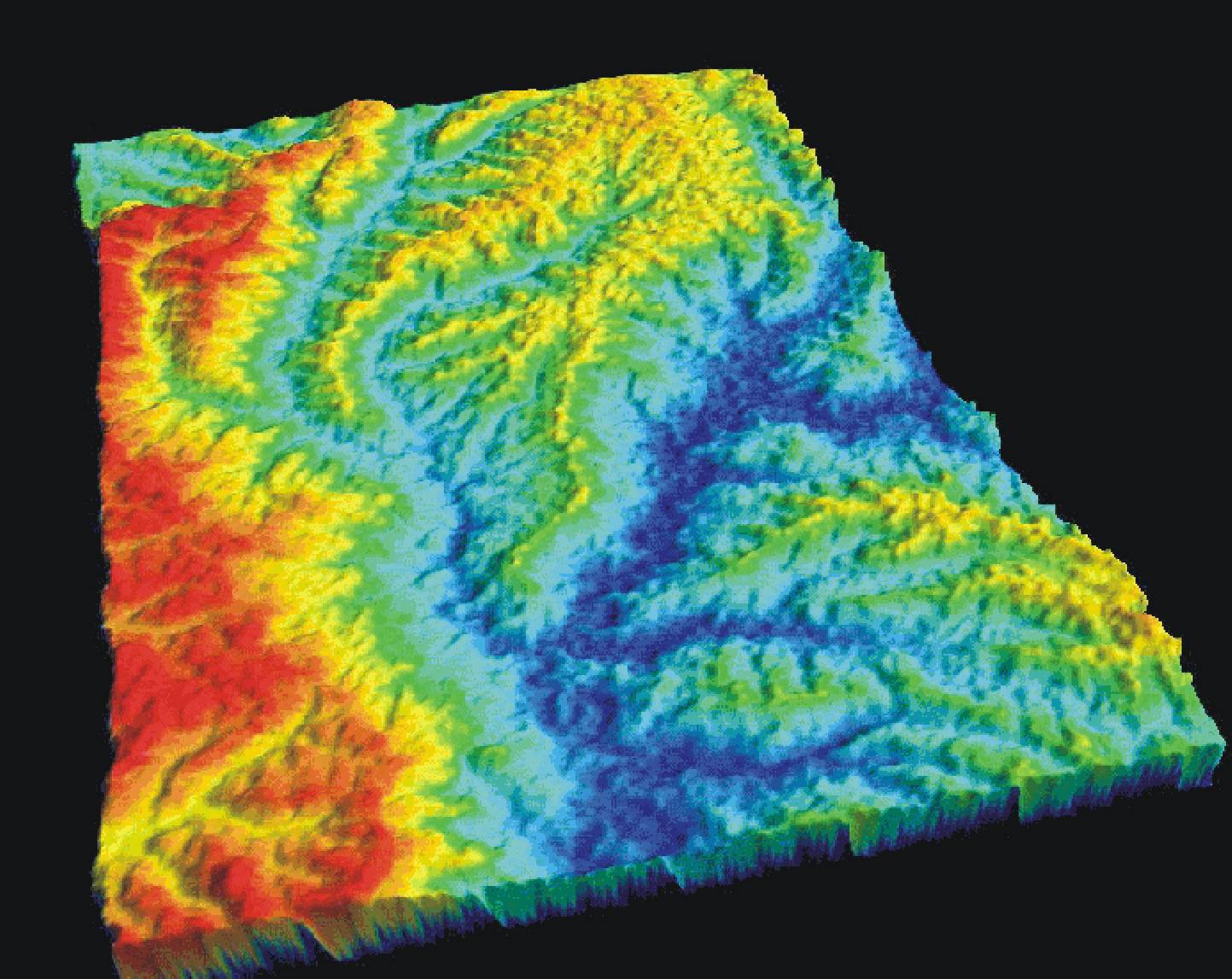
DEM
http://rrsg.uct.ac.za/activities/activities.html
DEM stands for digital elevation model. In this specific example you can see that the red represents the highest elevation while the blue is the lowest.
No comments:
Post a Comment
Newer Post
Older Post
Home
Subscribe to:
Post Comments (Atom)
No comments:
Post a Comment